 |
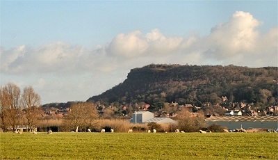
Helsby Hill from Hapsford
The vertical cliffs of the prominent sandstone outcrop of Helsby Hill are well seen from the tiny hamlet of Hapsford. |
|
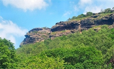 |
Helsby Cliffs from Helsby
Flat-topped Helsby Hill is the location of the most impressive sandstone crags in the Merseyside area. Traces of Stone Age, Bronze Age and Iron Age settlements have been found in the area (including a Bronze Age hill fort near the summit). The first identifiable settlers were the Vikings in the 10th century, the name being of Viking origin and meaning 'village on the edge' (of the escarpment, presumably). The Domesday book lists the Normanised name Hellesbe. The hill is 427 feet (130 m) high and the crags are popular with rock climbers, offering everything from scrambling to extreme challenges. |
|
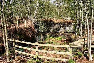 |
Ben's Quarry, Harmers Wood, Helsby Hill
Helsby Hill is the location of numerous old quarry workings. Bens' Quarry in Harmers Wood takes its name from Benjamin Morris of Alvanley, who started quarrying here in 1831. He had to abandon operations a year later because of the mixed rock types, and in 1868 the landowner, the Earl of Cholmondeley, donated the stone free of charge to the 'poor people of Helsby' to build St. Paul's church and parsonage. Seven men worked the site with a steam crane and the stone was carted by local farmers into Helsby. There used to be a pub, the Toothill Beer House, near the quarry supplying watered down beer to the no doubt grateful quarrymen. |
 |
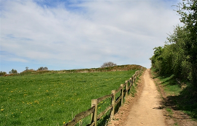 |
Helsby Hill Fort
The defensive ramparts of Helsby Hill Fort were built in the late bronze age, around 3000 years ago. Charcoal from beneath the ramparts, perhaps from ritual fires, has been dated to the Neolithic period around 6000 years ago. There is also evidence of wheat storage and milling during the Iron Age. The fort was defended naturally to the north and west by the steep cliffs and by a double rampart around the remainder. |
 |
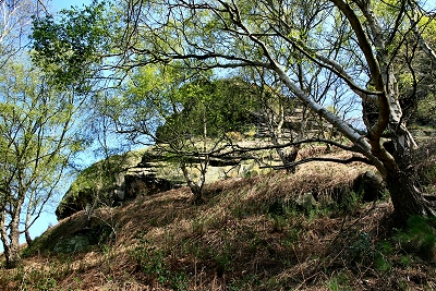 |
Helsby Cliffs
Looking up from the Helsby Hill Middle Walk |
 |
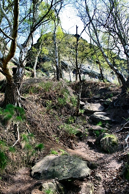 |
Helsby Cliffs
Looking up from the Helsby Hill Middle Walk |
 |
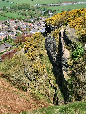 |
Helsby Cliffs
A dizzying view past overhanging cliffs to Helsby below. |
 |
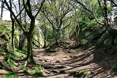 |
Sandstone Cutting, Helsby Hill |
 |
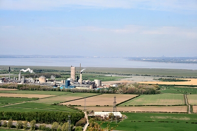 |
View over the Mersey from Helsby Hill Summit |
 |
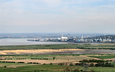 |
View towards Runcorn from Helsby Hill Summit |
 |
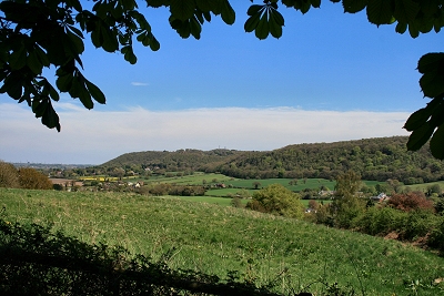 |
Woodhouse Hill from Helsby Hill |
|
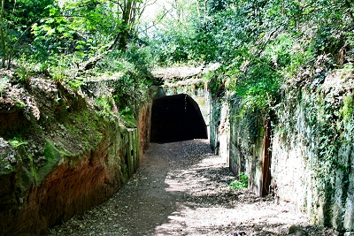 |
Tramway Tunnel, Helsby Quarry
Helsby Quarry, now a local nature reserve, was worked from the early 1800s up to the 1920s. Horse drawn wagons were originally used to carry the sandstone down to the pier at Ince on the Mersey, from where it was taken by barge to Liverpool and Birkenhead for construction work, especially on the docks. The tramway and its tunnel were constructed in about 1828. The last stone from the quarry is thought to have been used to build the bridge over the railway line at the southern end of Helsby. Nowadays it is difficult to appreciate the magnitude of the operations here at their peak. The quarry has been largely filled in and lined with trees, though some of the original rock faces are still clear. |
 |
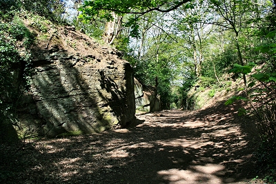 |
Sandstone Cutting, Helsby Quarry
Helsby Quarry is designated as a Regionally Important Geological Site. The sandstone is Triassic, dating from 250 million years ago. |
 |
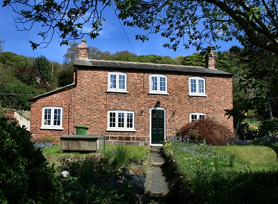 |
The Former Robin Hood Inn, Helsby
The former quarrymen's watering hole. |
|
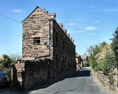 |
Quarry Workers' Housing, Helsby
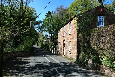
These former quarrymen's dwellings owe their unusual design to the fact that the quarry tramway used to run behind them, space being limited on the slopes by the quarry. |
|
 |
Quarryman's Cottage, Helsby |
|
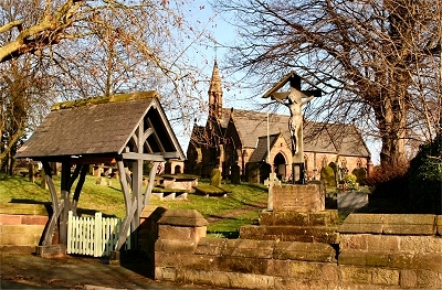 |
The Church of St. John the Evangelist, Alvanley
This Grade II listed church is built of sandstone in 14th century style and was completed in 1861. There was a tradition that newly-weds leaving the church were detained by a rope held across the church gate until an agreement had been reached to buy drinks at the White Lion opposite. Alvanley is situated on the Cheshire Sandstone Ridge high above the Cheshire Gap with superb views across the plain to Wales. This small rural village has some beautifully restored thatched sandstone cottages and handsome Georgian farmhouses. |
|
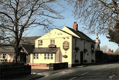 |
The White Lion, Alvanley
Originally a farmhouse dating from around 1700, the White Lion, in the pretty little village of Alvanley, has more recently been much extended, but retains a cosy and welcoming atmosphere. There are some larger rooms and a number of smaller nooks and crannies, all with dark wood panelling. There are beautifully located seating areas outside. Up on the Sandstone Ridge here you feel as though you're in the heart of the country. |
|
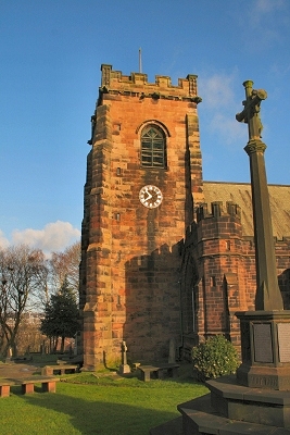 |
St. Lawrence's Church, Frodsham
There was a church on this site at the time of the Domesday Book, though the earliest parts of the present church, constructed from beautiful local sandstone, date from about 1180. The tower is 14th century, at which time the chancel was also lengthened; further building work was done in the 16th century and after. There are some Saxon and Norman carved stones inside the tower and the nave is said to be one of the finest examples of Norman architecture in Cheshire. |
|
Frodsham in Lewis's Topographical Dictionary of England (1848)
The Town is situated on an eminence on the bank of the river Weaver, near its confluence with the Mersey, and consists of a broad street, a mile in length, extending along the road from Chester to Warrington, and another branching from it and leading to the church. At the east end is a stone bridge of four arches over the Weaver, which is navigable here; and at the west end stood a Norman castle. [...] The church stands on elevated ground, in the village of Overton, is built of red freestone, and appears to be of high antiquity, the nave displaying traces of Norman architecture. |
Frodsham in The Beauties of England and Wales, Vol II, Edward Wedlake Brayley and John Britton (1809)
Frodsham is a small town, pleasantly situated on an eminence beneath the hills which form the northern extremity of Delamere Forest, and but a short distance from the junction of the Weaver with the Mersey. Frodsham had formerly a castle, which [...] stood at the west end of the town, and was latterly inhahited by the Savages, Earls Rivers, but was consumed by fire in the year 1642; its site is occupied by a handsome modern house. The Church stands at a vast height above the town, in a part called Overton. [...] Near the church is a school, with a good bouse for the master, and a cupola on its summit for an observatory. The brow of an eminence, called Beacon Hill, behind the school, is cut into a very pleasant walk, commanding a fine view of the estuary of the Dee, and the more distant parts of Lancashire. At the foot of the hill are shooting butts for the practice of archery, a science which, from being of the greatest importance in the art of war, is now only exercised for diversion. Frodsham Bridge, over the Weaver, is nearly a mile east of the town; at some distance from it, on the bank of the river, are some works for refining rock-salt. Vast quantities of potatoes are cultivated in this parish. |
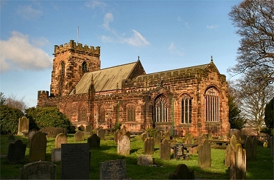 |
St. Lawrence's Church, Frodsham |
|
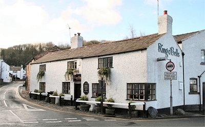 |
The Ring O'Bells, Frodsham
This lovely old pub, originally a farmhouse, dates from the 17th century or possibly even earlier. Inside are a lot of cosy little rooms with bags of character and atmosphere. The actor Daniel Craig (b. 1968) lived at the Ring O'Bells, where his father was the landlord, for the first four years of his life. He moved away when his parents divorced in 1972 and his father then took over the Boot Inn at Willington. |
|
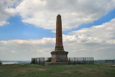 |
War Memorial, Overton Hill, Frodsham
This 36 feet (11 m) high sandstone war memorial, located 385 feet (118 m) above Frodsham on Overton Hill , was completed in 1921. The hill is the location of an Iron Age fort, the outlines of which can still be discerned, and provides one of the best viewpoints in the region. |
 |
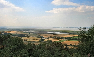 |
The Mersey Estuary from Overton Hill, Frodsham |
 |
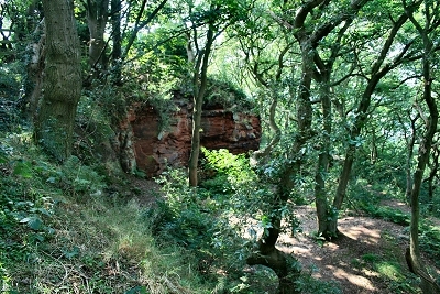 |
Sandstone Combe on Overton Hill, Frodsham |
 |
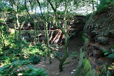 |
Sandstone Combe on Overton Hill, Frodsham |
 |
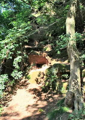 |
Jacob's Ladder, Dunsdale, Woodhouse Hill
Jacob's Ladder is an entertaining scramble, for those accustomed to this kind of thing, on the Sandstone Trail near Frodsham. Steps were originally cut into the rock to provide access to Dunsdale from the north, but there is now an easier route nearby. Over many years there has been heavy erosion and the route is nowadays more tricky. There are plenty of hand and foot holds on the most difficult section near the bottom, but they are severely worn and smooth. Nevertheless it is not too much of a challenge for those with no aversion to drops. |
 |
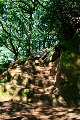 |
Steps down into Dunsdale, Woodhouse Hill
This is the easier route into Dunsdale from the north via the steps known as the Baker's Dozen). |
 |
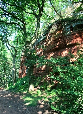 |
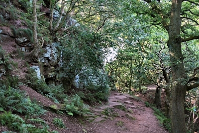
Sandstone Cliff in Dunsdale, Woodhouse Hill
Dunsdale is a beautifully wooded natural combe on Woodhouse Hill bounded by sandstone clifs on three sides. |
 |
 |
Sandstone Cliff in Dunsdale, Woodhouse Hill |
 |
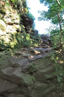 |
Abraham's Leap, Dunsdale, Woodhouse Hill
The easily negotiated rocks of Abraham's Leap provide access to Dunsdale from the south. |
 |
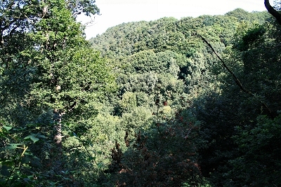 |
Dunsdale, Woodhouse Hill |
 |
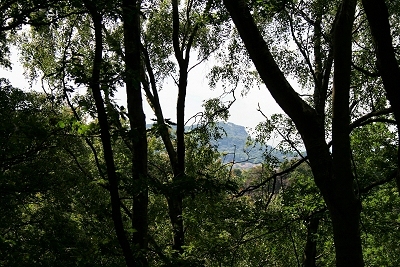 |
Helsby Hill from Dunsdale, Woodhouse Hill |
 |
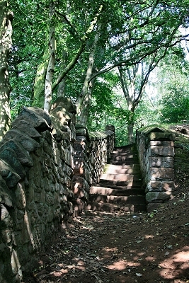 |
Steps near Dunsdale, Woodhouse Hill
This is the low level entry route to Dunsdale from the south-west. |
 |
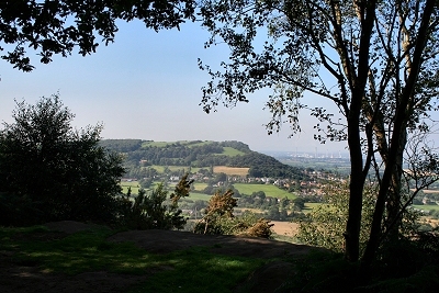 |
Helsby Hill from Woodhouse Hill |
 |
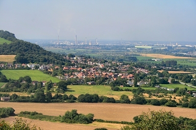 |
Helsby from Woodhouse Hill |
 |
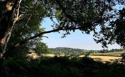 |
Beacon Hill from Woodhouse Hill |
 |
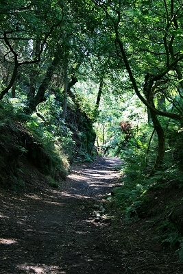 |
The Sandstone Trail near Woodhouse Hill
The Sandstone Trail is one of the finest and most popular long distance walks in North West England. It stretches for 34 miles (55 km) from the centre of the ancient market town of Frodsham in the north to Georgian Whitchurch in Shropshire in the south. For most of the way it follows the dramatic, wooded sandstone ridge that runs roughly top to bottom across Cheshire. |
 |
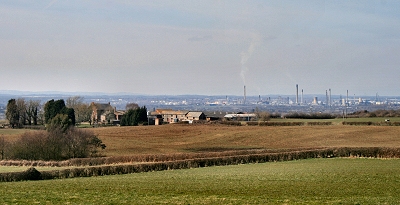 |
The Cheshire Plain from Simmond's Hill, Manley |
 |
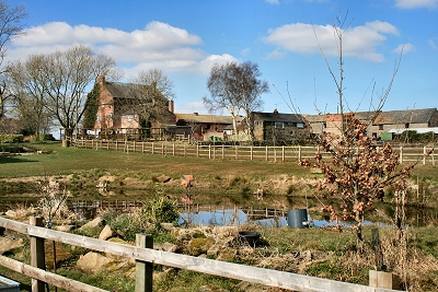 |
Manley Old Hall
In 2002 a 650-year-old gold and diamond ring was found in a field at Manley Old Hall by an amateur treasure hunter and fetched £84,000 at auction. It is believed to have been commissioned by Edward III as a gift to an especially loyal supporter. Delamere Forest was one of his favourite hunting grounds. |
 |
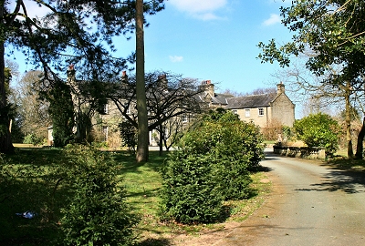 |
Manley Hall
Manley Hall was once home to the family of the famous parliamentarian William Gladstone. |
 |
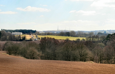 |
Pale Heights from Manley Common |
 |
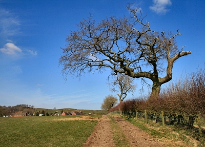 |
The Eddisbury Way at Manley Common
The Eddisbury Way is a 16½ mile (27 km) trail from Frodsham to Higher Burwardsley. |
 |
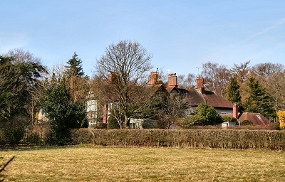 |
Ravelstone, Manley |
 |
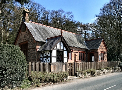 |
St. John's Church, Manley |
 |
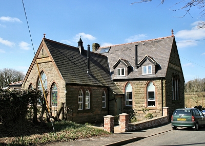 |
Mouldsworth Methodist Chapel
This Wesleyan Methodist church was built in 1816 and then rebuilt in 1887. |
 |
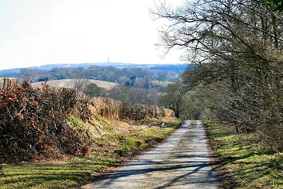 |
Stable Lane, Mouldsworth |
 |
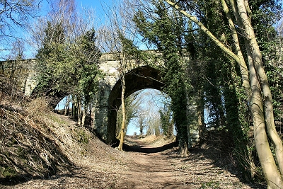 |
Railway Bridge, Mouldsworth |
 |
