 |
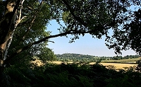
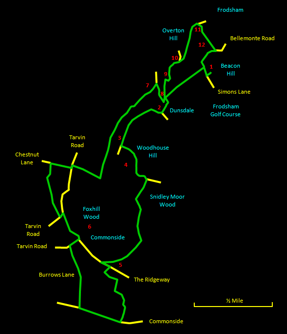
The path skirts the left hand (eastern) edge of the fort and there are intermittent views over the countryside towards Beacon Hill. Keep to the right and go downhill to emerge eventually on The Ridgeway by a holiday park [5]. Turn left up The Ridgeway and very shortly take the path up the steps to the right. After a short distance, this descends the hill via steps to a small brook. Turn left through the trees, with the brook on your right, and you come to a convenient bench - a nice secluded place for some refreshments. A little further, cross a footbridge over the brook and go through a kissing gate. Keep to the left hand side of the next few fields, going through another kissing gate. A final gate emerges onto Commonside, which you follow to the right. Then turn right into the quiet and leafy Burrows Lane that rejoins The Ridgeway at the bottom of the hill. If you look up here you will see an isolated tower [6] in the woods on the hillside in front of you. Follow The Ridgeway to the left, and at the junction with Tarvin Road go to the left for a few yards to locate a rough footpath that heads to the right along the right hand boundary of a farm field with a brook on its right. Near the far end of the field, follow the path through the trees and over a footbridge into a quiet lane. At the end of the lane, go right along Chestnut Lane to rejoin Tarvin Road. A short distance to the left along Tarvin Road, take the lane on the right towards the bottom edge of the woods on Woodhouse Hill. |
 |
