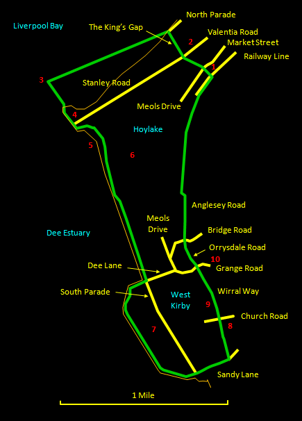
This fine walk of about 5½ miles (8½ km) skirts around the north-west tip of the Wirral and then takes an inland short-cut back to the start. Even though it is mostly along the coast, there are contrasts, as the section to the north-east of Hilbre Point is different in character from that to the south-east and the walk along the sea wall of the marine lake is different again. For refreshments, here are many decent restaurants in the centre of West Kirby and the route passes by one of the best pubs: the White Lion. The initial section of shore out to Red Rocks (which, by the way, is impassable at high tide, though the tide does not linger around here) has some thin smooth mud that is claggy and slippery. Suitable boots are therefore advisable. Please note that at exceptionally high tides or in stormy conditions it is not safe to walk the sea wall of the marine lake at West Kirby. Also, however temptingly close Hilbre Island may look from Red Rocks, the crossing here is not safe because of quicksand and deep cross-channels that fill rapidly when the tide turns. People who know what they are doing do make the trip but this site follows the official line and does not recommend it!
The relevant
Ordnance Survey 1:25000 Explorer map is No. 266. For
further information on the locations visited, click on
the images.
 |
Detailed
mapping and satellite photography for this walk
courtesy of Bing Maps |
 |
Printer
friendly page for this walk (no photos) |
|
