 |
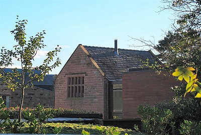
| Savages
Common (Camp Hill) |
 |
| Oak
Farm |
|
| Significantly later than
the Yates and Perry map is Sherriff's Map of
the Environs of Liverpool of 1823. This
provides interesting further detail of the old
roads and, especially, of prominent residents,
who would be either farmers or well-off
professionals. Allerton Lane and Dowsefield Lane
do not seem to be there, but the remainder of the
key to the Yates and Perry map applies here, with
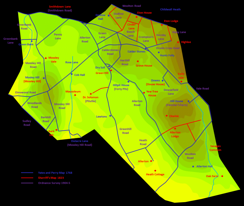
new entries below. At the bottom of this page I
have transcribed the contents of this map onto a
modern map. |
| Several Roads between
Woolton Road and Beech Lane (Menlove Avenue) are
newly included. Crompton's Lane is seen to be
named after the local resident Dr. Crompton, who lived at Eton House
(1776). Further along, Eton Lodge and Highlee
have disappeared. On Beech Lane, Folly Vale,
named after Hunt's Folly that was once situated
nearby, stood roughly where Mendips
stands now, but the road peters out at Savages
Common (Camp Hill) and Oak Farm (17th century). The roads
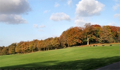
alongside what are now the Allerton
Golf Course and Allerton
Tower Park were
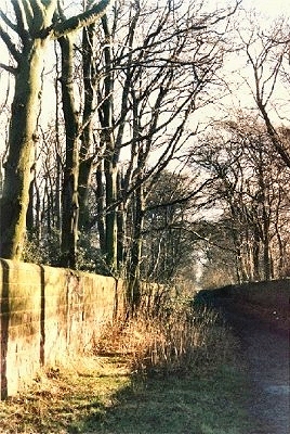
never redeveloped and today give a feeling for
what many of these old lanes might have looked
like. |
| Ivy House on
Allerton Road, two houses called Green Hill
and Yew Tree (perhaps giving its name to
the road) have disappeared. The property called Grove
House was later demolished to build the
mansion called Calderstone. Dr. Solomon, who gave his name to Solomon's
Brook, is revealed as a local inhabitant. Nearby
was his mausoleum that disappeared with the
advent of the railway. Heath Cottage is now named as such. |
|
 |
| Ancient
road by Allerton Tower |
|
